The reason why we exist
We help industries and individuals by providing accurate, real-time data with advanced sensors. This enables informed decisions for environmental sustainability, disaster management, infrastructure monitoring, tourist safety, and accessible space information for everyone.
What we enable the world
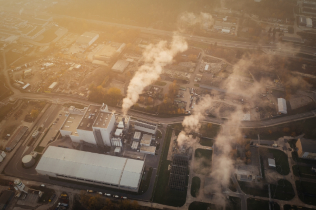
We use advanced remote sensing technology to provide precise and up-to-date data on carbon emissions. Our detailed reports help industries and governments track and reduce their carbon footprints, follow environmental regulations, and reach their sustainability goals.
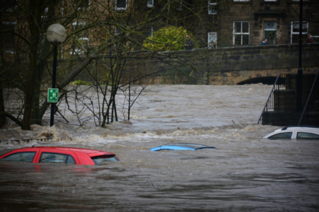
Our remote sensing solutions help assess disaster risks, improve emergency responses, and simplify insurance claims. We focus on reducing losses and improving safety by quickly and accurately assessing damage after a disaster.
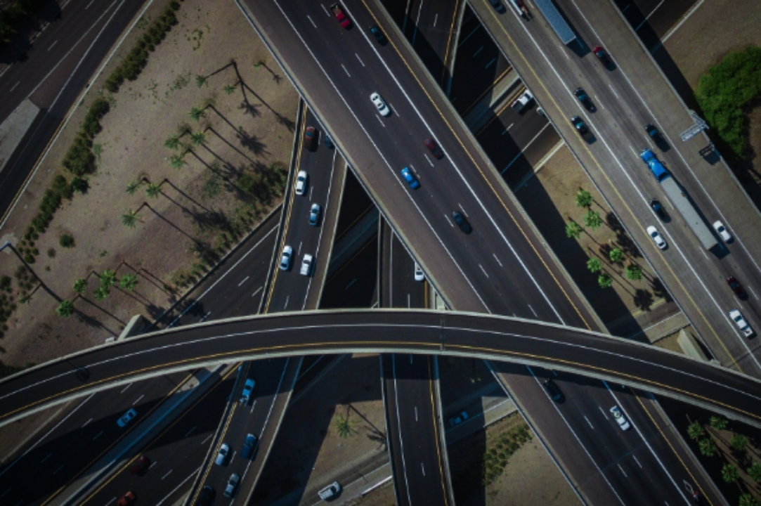
We use remote sensing technology to closely monitor infrastructure and construction projects. Our services help ensure that structures are safe and projects run smoothly by spotting problems early and giving accurate information about progress and site conditions.
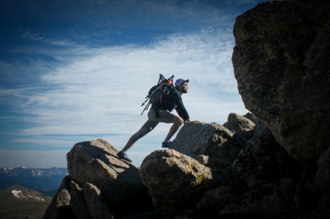
Our app uses remote sensing data to make outdoor activities safer and more enjoyable. It offers real-time environmental and safety information, alerts based on your location, and recommendations to help keep you safe while you explore.

We make space data easy to understand for everyone with our user-friendly platform. Our services offer clear insights about the environment, weather, and space events, helping people learn and spark their curiosity about space.
Reach out to us for more information about our services, partnership opportunities, or any other inquiries.
Let's Talk